Loading
Regional field guide
How the dunes, oasis villages and salt landscape fit together in the Kébili region.
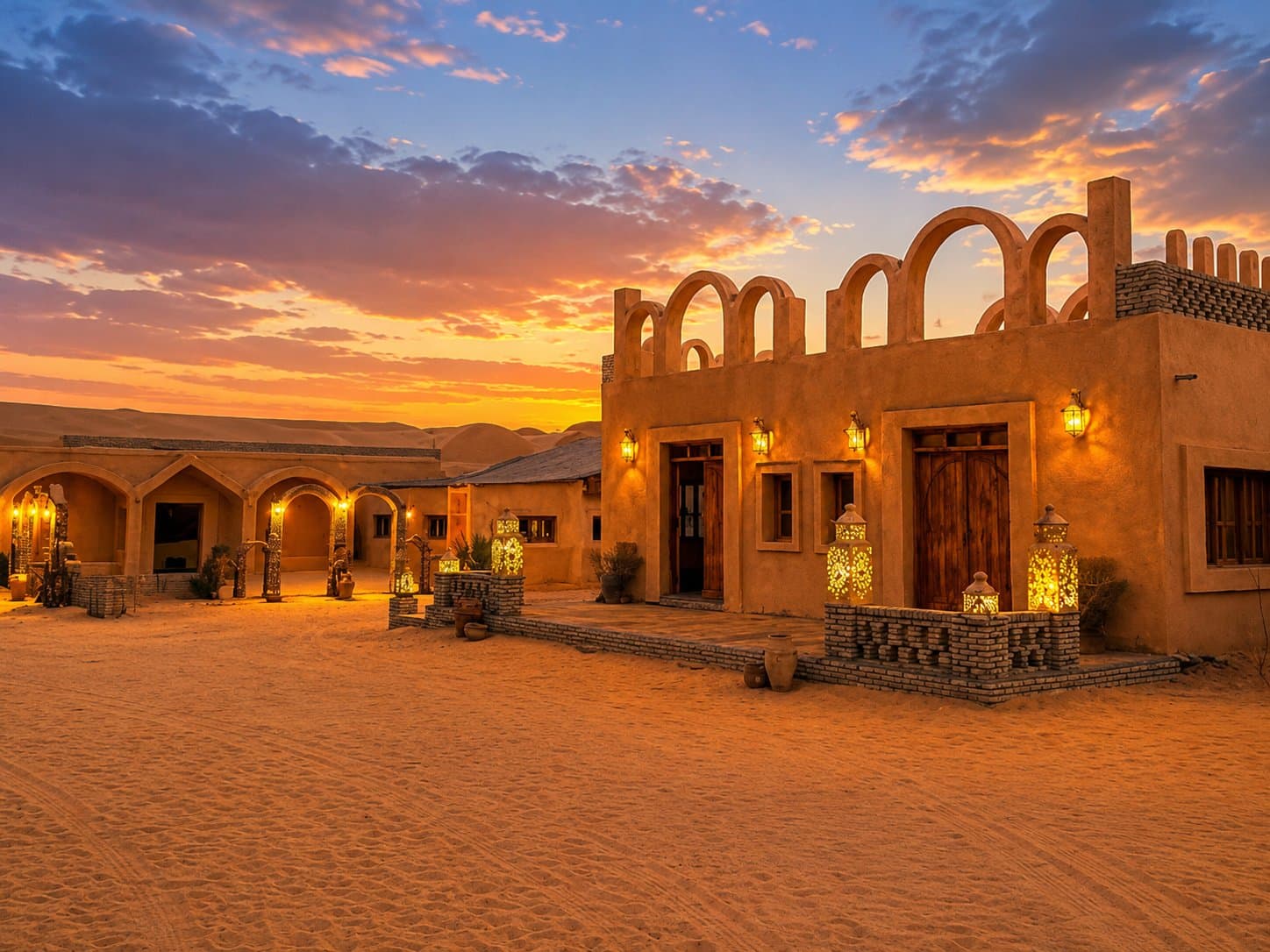
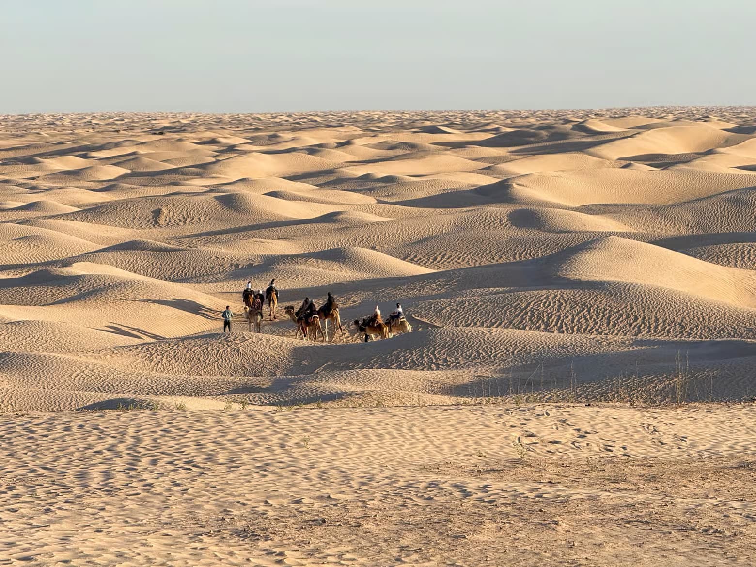
Tunisia's official tourism portal places Sabria, Nouil and El Faouar between the sandy desert and Chott el-Jerid. This matters: the region is not one uniform sea of dunes but a meeting of oasis agriculture, sandy villages, salt flats and the Grand Erg Oriental.
Douz is the best-known gateway, while Sabria offers direct contact with the dunes and local camp life. Chott el-Jerid is a mostly dried salt basin crossed by a paved road; its glare and mirage effects are part of the landscape, but the crust should not be treated as an unrestricted driving surface.
A useful itinerary gives each landscape its own time: the palm groves and market culture around Douz, a guided dune experience near Sabria, and a daylight crossing or viewpoint over Chott el-Jerid. Longer journeys can continue toward Tozeur's oasis landscape rather than forcing every stop into one day.
The official portal identifies winter as an excellent season for Sahara exploration and autumn as another suitable period. Summer is primarily promoted for Tunisia's coast. In the desert, daily timing, shade, wind and temperature matter more than a generic monthly label.
The World Bank's Tunisia climate profile documents the country's strong heat exposure and regional variation. Use a current local forecast, carry water and sun protection, and accept route or timing changes made for weather conditions.
Remote desert travel is different from reaching an established camp by road. Use the booked guide and confirmed route, verify current official travel advice, and never assume that a visible track is public, safe or outside a restricted zone.