Loading
Sourced route guide
A route through island heritage, fortified granaries and hilltop settlements — with context from UNESCO and Tunisia's official tourism portal.
Djerba is more than a beach departure point. UNESCO inscribed the island in 2023 for a dispersed settlement system shaped by scarce water, self-sufficiency and coexistence between communities. Menzels, rural mosques, market districts and a web of small roads form part of that wider landscape.
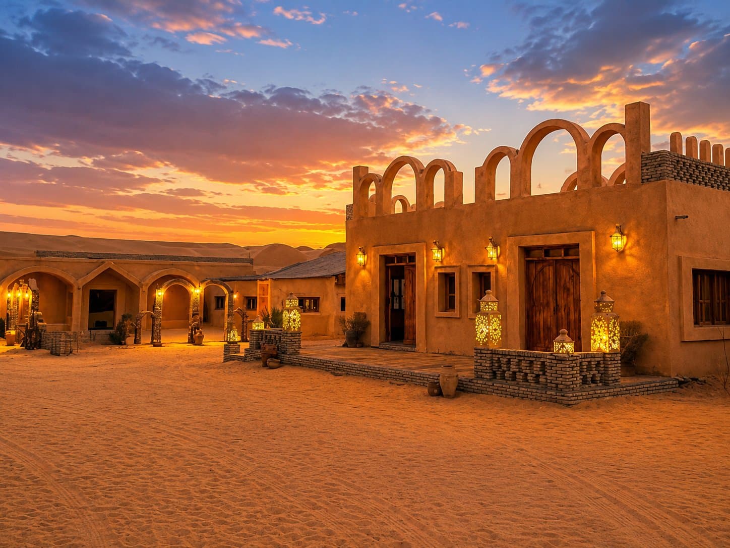
South-west of the island, the terrain changes around Medenine and Tataouine. The official Tunisian tourism portal describes a region of rocky plateaus, ridge villages and ksour: fortified collective granaries whose individual storage chambers are known as ghorfas.
Tataouine is a practical gateway rather than the whole story. Chenini and Douiret show how settlements occupied high ground and used partly rock-cut dwellings. Ksour such as Ouled Soltane and Haddada reveal another form: rows of ghorfas organised around a courtyard for storing harvests.
Treat these places as inhabited heritage, not scenery. Dress for walking, ask before photographing people, use local guides where interpretation matters and leave time for the architecture, crafts and water-management systems that made settlement possible.
Official tourism information places Tataouine about 140 km by paved road from Djerba airport. Actual driving time depends on your start point, stops and road conditions; a trip should therefore publish its own departure time rather than promise a universal duration.
Before departure, check current government travel advice and insurance conditions. Guidance for southern and border areas changes over time. Stay on the confirmed itinerary and never extend a heritage excursion into remote border territory on your own.